Last updated: Thursday, June 30, 2016 AT 7:15 PM
Acres burned: 7,609
Containment: 100 percent
Location: Potrero - Off Highway 188 and Highway 94 near Tecate
Start date: June 19, 2016 - 11:00 AM
Cause: Under Investigation
Evacuations: All Evacuation Orders and Warnings have been lifted.
Evacuation Shelter: N/A
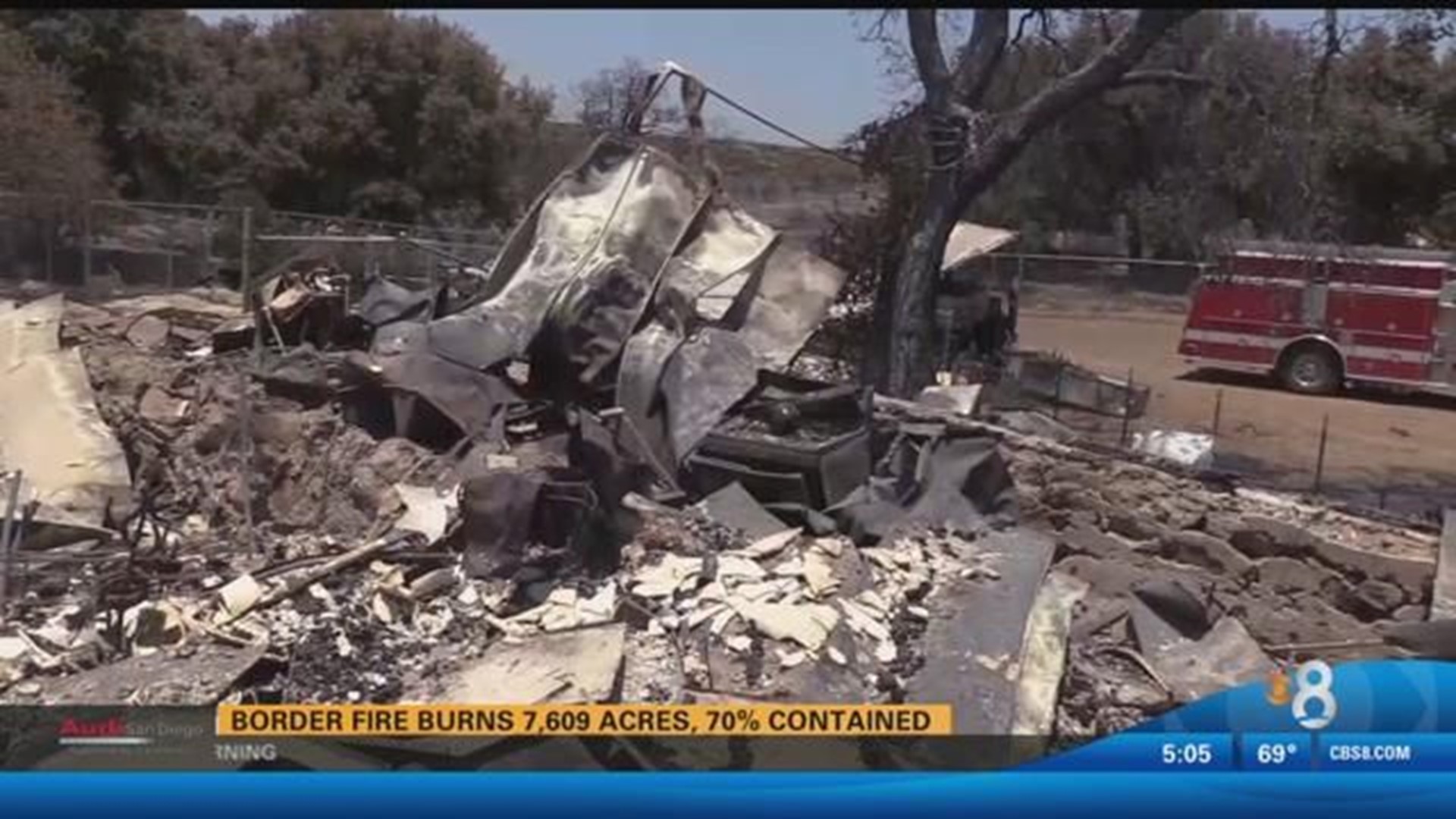
Structures Destroyed: 5 homes, 11 outbuildings
Injuries: 3 firefighters injured (heat-related)
Road closures: No current road closures
Trail Closures: Pacific Crest Trail
Twitter Hashtags: #BorderFire
POTRERO (CNS) - The so-called Border Fire, which has destroyed homes, prompted widespread evacuations and blackened more than 7,600 acres since it broke out near Potrero 12 days ago, was 100 percent contained Thursday.
At last count, 258 firefighters were mopping up hot spots and laboring to extinguish the remainder of the fire, which broke out for unknown reasons near state Routes 94 and 188 on the morning of June 19, fire officials said.
"Firefighters continue to strengthen containment lines and mop up on the fire. SDG&E and AT&T continue to make repairs on many of the downed power lines, communication lines and the replacement of poles,'' according to a Cal Fire statement.
All evacuation orders have been lifted. All roads were open in the burn area, but the Pacific Crest Trail remained closed to hikers.
The cause of the fire, which started near state Routes 94 and 188 just north of the U.S.-Mexico line, was under investigation.
FIRE RESOURCE LINKS

