Weather Update: Friday, February 15, 2019 at 6:25 a.m.
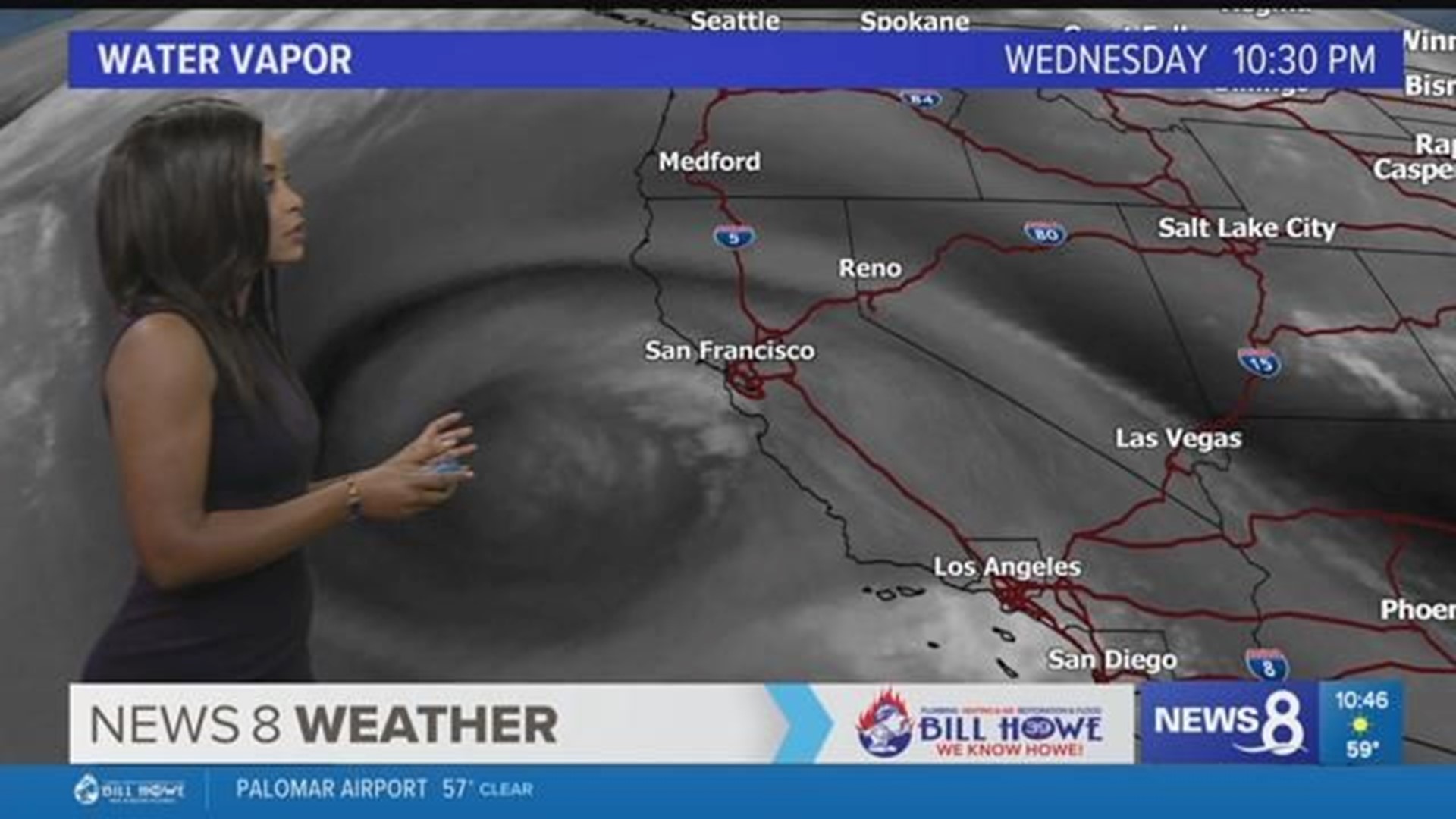
Weekend conditions are looking cool and wet. A series of low pressures will keep cold air and a chance of rain in the forecast each afternoon and evening through Sunday. Stronger, colder system on Sunday will bring a chance of snow to San Diego mountains. Drier, warmer conditions early next week will not last long.
A Detailed Look at February 15th:
- High rip current risk. Water temperature 56-59. West-southwest swell at 3'-5' with sets to 6'. UV index for San Diego is moderate (4).
- Friday afternoon high temperatures will be below seasonal norms.
- Coastal highs 59-62, normal around 65.
- Inland highs 52-61, normal around 70.
- Mountain highs 42-51, normal around 53.
- Desert highs 61-66, normal around 71.
- Low clouds are back in the area after Thursday's rain. Patchy fog is possible Thursday morning. Scattered rain may return in the afternoon and evening hours as an area of low pressure passes through the area.
- Wind Advisory is still in place for the San Diego mountains until 4 AM Saturday. Wind of 20-30 mph may gust up to 55 mph.
- Beach Hazards Statement is in effect for San Diego beaches until 4 PM Sunday. Surf heights of 3'-6' will increase up to 7' on Sunday mainly south of Encinitas. High surf and strong rip currents will make swimming conditions hazardous.
The Week Ahead:
- Light and scattered rain is possible through the weekend as shortwave low pressures pass through the region, tapping into the lingering moisture. Timing looks to be Friday night and Saturday night for some additional rain. Light rain can be moderate at times. Total rainfall from Friday through Saturday is looking to top out at 0.25" at the coast and inland, less than 0.75" for the mountains.
- Snow levels are expected to drop further, down to 3000' on Sunday. A very cold and stronger low pressure trough will swing southward. This will create another opportunity for widespread light to moderate rain and snow in San Diego mountains.
- Drier and slightly warmer Monday through Tuesday but will not last long. Mid-week next week will bring another cold trough. More rain and cold temperatures will come with this system late next week.

