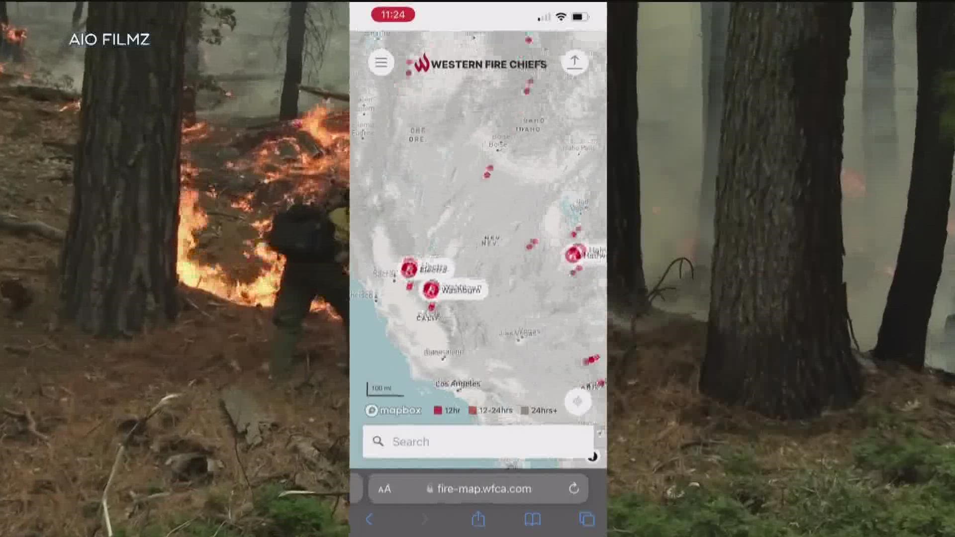
SAN DIEGO — If there is a fire near you or you’re in a dangerous situation, there is now an easily accessible fire map you can use.
"Fire season sort of doesn’t exist anymore, we talk about a fire year in the United States," said retired Fire Chief in Santa Fe, New Mexico, Erik Litzenberg.
As California prepares for a summer of excessive heat and drought, the Western Fire Chiefs Association is introducing this fire map to provide near real time information about active wild fires.
"The fire map is the first of its kind which is pretty exciting," said Litzenberg.
The fire map pulls data from a number of sources including, 911 dispatch data via Pulse Point and the U.S. Forest Service via National Interagency Fire Center IRWIN feed, to track the location of wildfires as they start and while they’re burning.
The map can be used by both community members and fire responders.
Here’s how it works
- Head to the website from your cell phone or computer
- Click on a fire in your area
- A box will pop up showing the percentage of containment, the size of the fire, how many responders are assigned, and how long the fire has been active
- You can also zoom into the fire to get an even closer look
"This system is designed to send very little data over stressed connections. You can still get it on your phone which doesn’t exist anywhere with any existing maps. What we want is to live safely with fire and that is a fire adapted community," said Litzenberg. "The more information I can get and the easier and quicker I can get it, the more informed I can be,"
This is just Phase One of the fire map. Phase Two should have satellite images. Phase Three will include 3-D models, and text notifications.
WATCH RELATED: Here are fire safety tips to protect your home from wildfires (July 2022)

