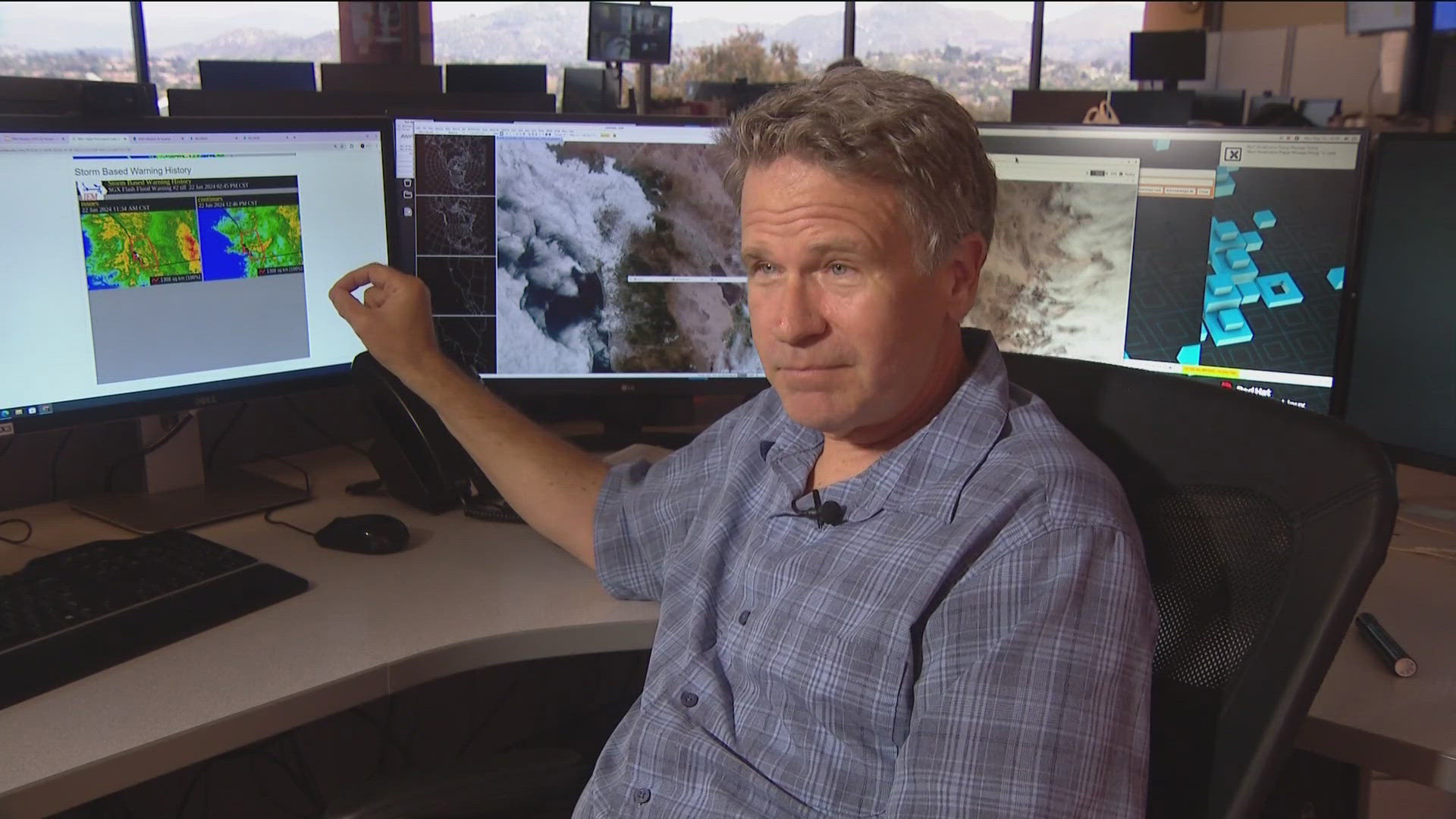
SAN DIEGO — At the National Weather Service in Rancho Bernardo on January 21, they knew a big storm was heading their way and had issued the first weather watches.
But by the following morning, on January 22, they knew the storm could be one of the biggest in recent memory.
"The entire Pacific had on continuous Jet Stream pointed at San Diego. We were seeing rainfall rates of a 1/2" to 3/4" per hour," said Alex Tardy, co-lead forecaster on January 22 at the National Weather Service.
With no back edge to the storm, the NWS issued Flash Flood Warnings early that morning.
"By 9:30 to 10:00, not only was the heavy rain spreading into San Diego, but it was also building, expanding, becoming heavier," he said.
The heavy rain focused along Chollas Creek which runs through the Southcrest and Mountain View neighborhoods.
"When we really got concerned was around 10 and 10:30 because it developed down here, and equally and stronger rainfall than before," Tardy said.
The choked storm canal was overwhelmed and flooding began in Southcrest by 9 a.m.
"Basically, everyone in the Metro area had 2" to 4" of rain in 3 hours," Tardy said.
Area's around Downtown saw a quarter to a third of their yearly rain.
"I would say Chollas Creek might have been the first one where we saw catastrophic Flash Flooding with vehicles actually like toys sent downriver," Tardy said.
By 11 a.m. the flood waters were waist to chest deep in Southcrest
"You can equate it to a 500 to a 1,000-year storm because we had multiple gauges that recorded 2 to 2 ½ inches of rain in 60 minutes," Tardy said.
Downtown San Diego saw 2.73'' of rain, the most since 1860.
"So, literally the perfect storm came together over San Diego. It did, and it was not only the perfect storm for heavy rain but for prolonged rain that morning," Tardy said.
It would take hours for the water to recede and reveal the destruction.
WATCH RELATED: Mountain View family prepares to move back into their home four months after the January flood

