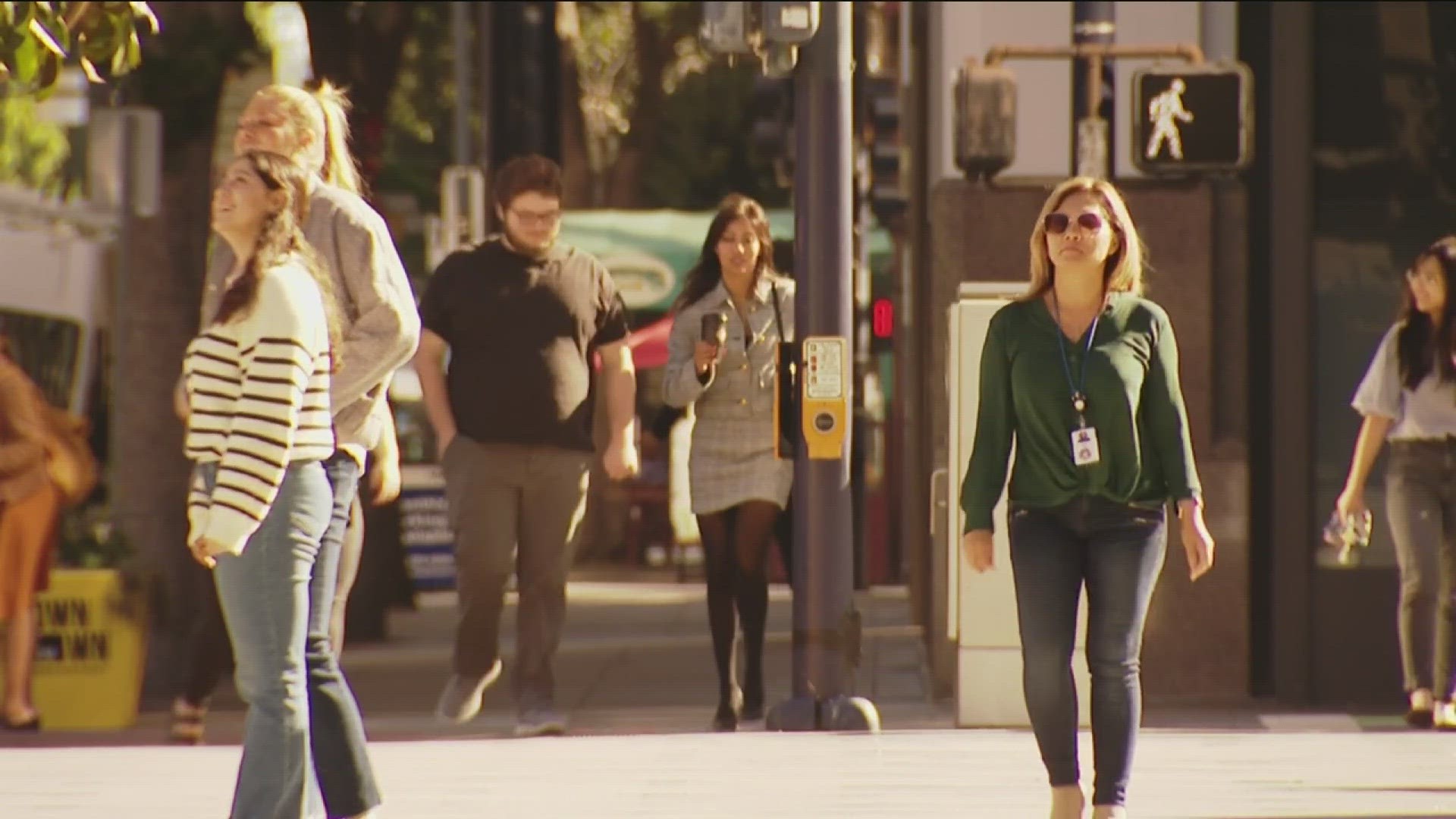
SAN DIEGO COUNTY, Calif. — San Diego Association of Governments (SANDAG) just unveiled a new online tool to report dangerous intersections, bike lanes and pedestrian walkways.
"In the San Diego region there are 250 traffic fatalities every year, about one-third of those include pedestrians," said Antoinette Meier, SANDAG Senior Director of Regional Planning.
This new online tool lets residents report streets or intersections that they feel are unsafe. It also allows them to explain why.
Residents can also add input about bike lanes and pedestrian walkways, as well as places that need improved wheelchair access. Meier said SANDAG will use all of that data to develop its 2025 Regional Plan and the Vision Zero Action Plan. She said the goal is to prevent traffic fatalities.
"This is the entire region of San Diego, the 18 cities, the county including our unincorporated cities. Whether you're in Warner Springs, Borrego Springs, Ramona, or in the urban areas, you can leave comments on the tool," said Meier.
She said results will be available in June, when SANDAG unveils its plans for the future.
SANDAG has also launched the Traffic Safety Dashboard, a new online tool with interactive maps and charts displaying transportation injury and fatality data.

