MEXICO CITY (AP) — Hurricane season roared on as Jose threatened heavy surf along the U.S. East Coast Saturday, Tropical Storm Norma neared Mexico's resort-studded Baja California Peninsula, and Tropical Storm Maria formed in the Atlantic Ocean and was expected to strengthen into a hurricane, taking aim at some already-battered Caribbean islands.
Meanwhile, Tropical Storm Lee formed in the Atlantic and Tropical Storm Otis in the Pacific. Neither threatened land.
A tropical storm warning was in effect for the southern tip of Mexico's Baja California Peninsula due to Norma, which weakened into a tropical storm on Saturday, with maximum sustained winds of 65 mph (100 kph), according to the U.S. National Hurricane Center.
Norma was 210 miles (335 kilometers) south of Cabo San Lucas and moving north at 3 mph (6 kph), with forecasters saying it could approach waters southwest of the peninsula late Sunday or early Monday.
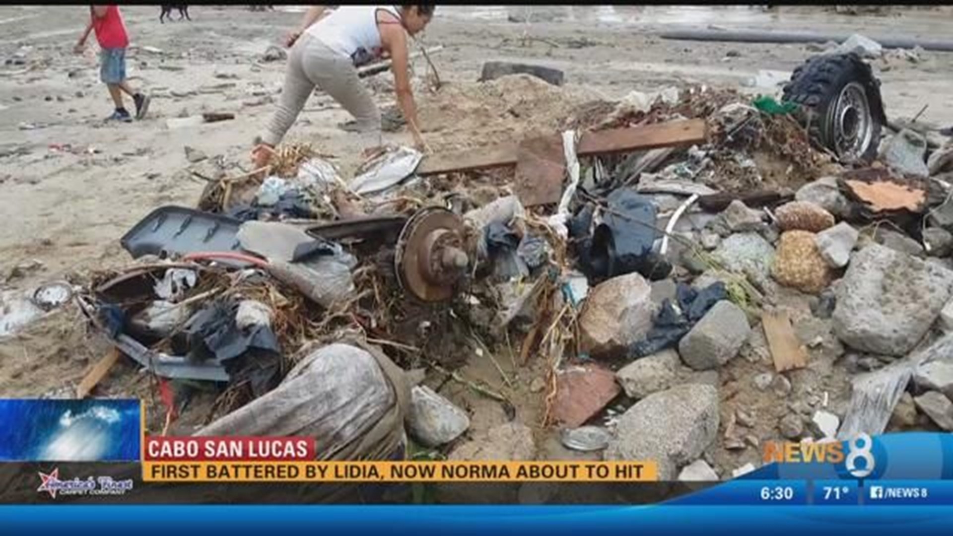
The peninsular region that's home to the twin resort cities of Cabo San Lucas and San Jose del Cabo was hit about two weeks ago by Tropical Storm Lidia, which flooded streets and homes and killed at least four people.
The Baja California Sur government readied storm shelters and canceled classes for Monday as well as a planned military parade in the state capital, La Paz, amid Mexican Independence Day celebrations.
In the Atlantic, Hurricane Jose was far from land but generating powerful swells that the center said were affecting coastal areas in Bermuda, the Bahamas, Puerto Rico, Hispaniola and the U.S. southeast.
The center added that tropical storm watches were possible for the U.S. East Coast later in the day and advised people from North Carolina to New England to monitor Jose's progress.
The hurricane had maximum sustained winds of 80 mph (130 kph). It was located about 485 miles (775 kilometers) south-southeast of Cape Hatteras, North Carolina, and was heading north at 6 mph (9 kph).
The hurricane center said Tropical Storm Maria formed and is expected to strengthen, prompting hurricane watches for Guadeloupe, Antigua, Barbuda, St. Kitts, Nevis, and Montserrat - some of which were devastated by Hurricane Irma.
The hurricane center said Maria is about 590 miles (950 kms) east-southeast of the Lesser Antilles. It had maximum sustained winds of 50 mph (85 kph) and was heading west at 10 mph (30 kph). It should approach the Leeward Islands on Monday.
The death toll from Irma in the Caribbean was 38.

