SAN DIEGO — A late-winter storm brought mild showers and smatterings of mountain snow to the San Diego area Wednesday.
The low-pressure system moving over the region delivered anywhere from a few tenths of an inch of precipitation to nearly three-quarters of an inch by mid-afternoon, according to the National Weather Service.
Over a 24-hour period ending at 2 p.m., the bands of dark clouds dropped 0.73 of an inch of rain in the Cameron area, near Pine Valley; 0.69 in Tierra del Sol; 0.63 at Henshaw Dam; 0.61 in Mesa Grande; 0.59 in San Felipe; 0.57 in Canebrake; 0.56 in Pine Hills and Ranchita; 0.54 in Descanso; 0.53 in Agua Caliente; and 0.5 at Lake Cuyamaca.
A News 8 viewer sent this video of snow coming down in Julian Wednesday morning.
Other moisture tallies included 0.49 in Julian; 0.47 in Warner Springs; 0.46 in Oak Grove; 0.44 on Otay Mountain; 0.43 in La Mesa; 0.42 in Flinn Springs; 0.41 in Alpine; 0.4 in Mission Beach; 0.39 in Campo; 0.36 in Ramona; 0.34 in Point Loma and Valley Center; 0.32 in Chula Vista and Granite Hills; 0.3 in El Cajon; 0.28 in Borrego Springs and Poway; 0.27 in Kearny Mesa; 0.25 in Del Mar; 0.24 in Escondido; 0.23 in Rancho Bernardo; 0.21 in La Jolla; 0.2 in Encinitas; 0.19 in Carlsbad; 0.18 in Deer Springs; 0.11 in Fallbrook; and 0.03 in De Luz.
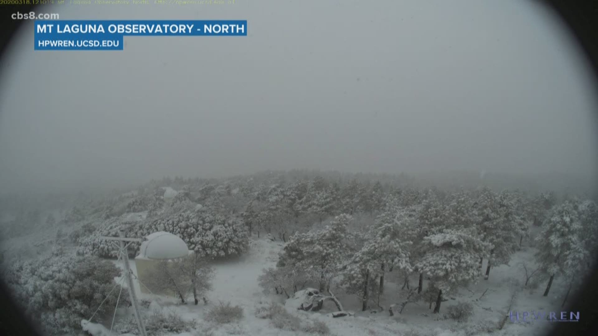
Above the snow level, 3 inches of frozen white flakes gathered on Mount Laguna, and scattered traces appeared on Palomar Mountain.
A follow-up unstable atmospheric system is expected to bring more local showers Thursday through Friday morning, along with a chance of more mountain snow, according to forecasters. An NWS winter-weather advisory will be in effect through 11 p.m. Thursday in East County highland communities above 4,500 feet.
A spate of dry weather is expected to begin Friday -- the first full day of spring -- and continue into Saturday, followed by yet another low- pressure system likely to arrive Sunday and bring rain into Monday, meteorologists advised.


