SAN DIEGO — News 8 is tracking the latest storm system to hit San Diego and Southern California. Latest forecast | Interactive Radar
Friday 4:17 p.m.
The National Weather Service released rain and snow totals. See them here.
Friday 2:34 p.m.
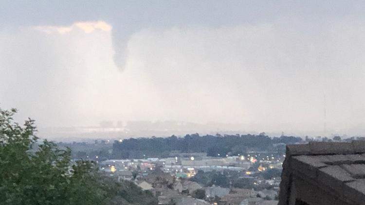
A Significant Weather Advisory has been issued for the cell near La Mesa and Lemon Grove, moving east. Small hail, lightning and thunder is being reported with this cell. Brief heavy rain is also likely. This is according to the National Weather Service - San Diego.
Friday 11:45 a.m.
Lightning has been detected in San Diego County.
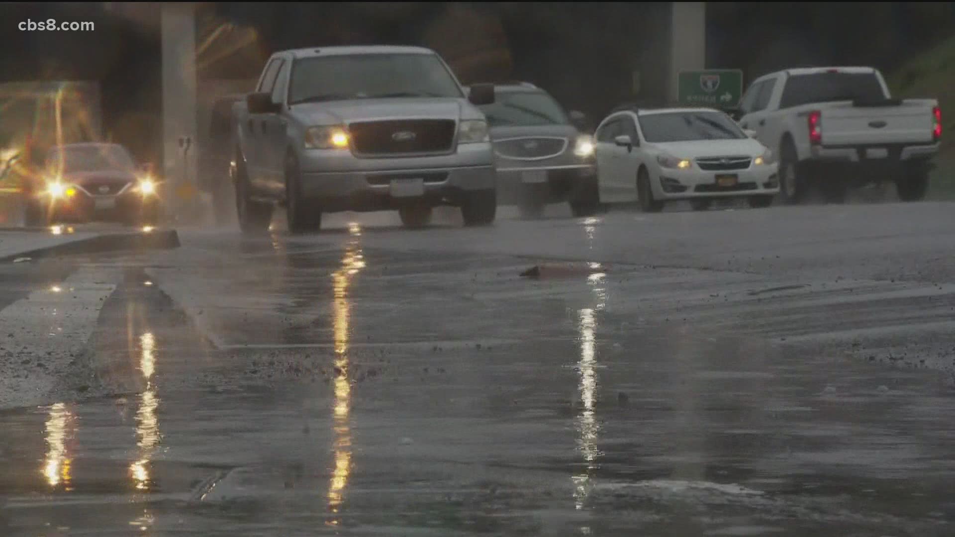
Friday 11:30 a.m.
According to the NWS San Diego, "More widespread and heavy showers are developing off the coast, especially near Orange County, making their way inland soon. Be prepared for brief downpours, hail and maybe lightning. Slow down on the road and turn those headlights on!"
Friday 9:00 a.m.
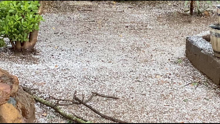
According to the NWS San Diego, a couple of heavier showers are moving through the San Diego metro area. We can expect brief heavy downpours and even some small hail and possible lightning
Friday 7:00 a.m.
The National Weather Service released preliminary rainfall totals. See them here.
Friday 6:45 a.m.
In Escondido, Country Club Dr. is closed just south of Harmony Grove Rd due to flooding.
Friday 4:30 a.m.
The NWS San Diego gave a radar update
Friday 3:20 a.m.
The NWS reported flooding in the #5 lane of I-805 just north of Main Street.
Reporting weather problems
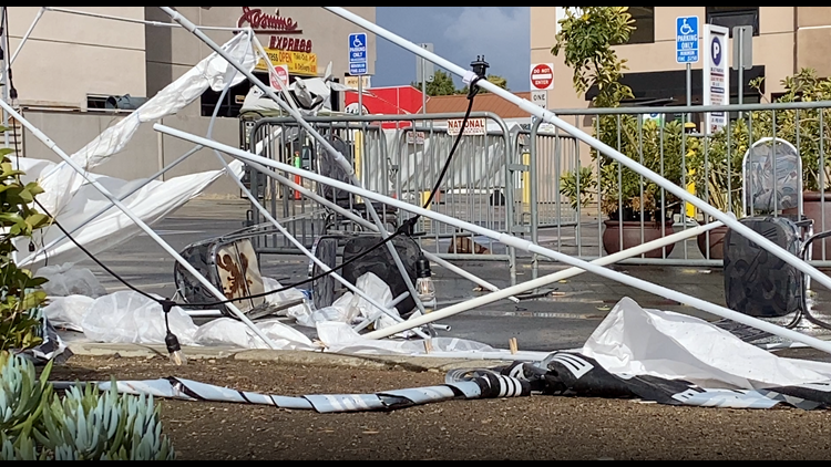
For any weather-related issues, you can report them to the City of San Diego’s Get It Done app. During the last storm, the Get It Done app had over 400 reports of downed trees and branches due to high winds.
Flash Flood Watch
The Flash Flood Watch takes effect at 7:00 p.m. on Thursday and expires at 4:00 p.m. on Friday. Heavy rain could begin as early as 8:00 p.m. along the coast before pushing southwest and intensifying around midnight through Friday morning.
Craft advisory
There is a craft advisory for coastal waters from San Mateo Point to the Mexican Border until 6 p.m. on Friday. The National Weather Service said it is unsafe conditions for small boats.
"Inexperienced mariners, especially those operating smaller vessels, should avoid navigating in hazardous conditions," the NWS said.
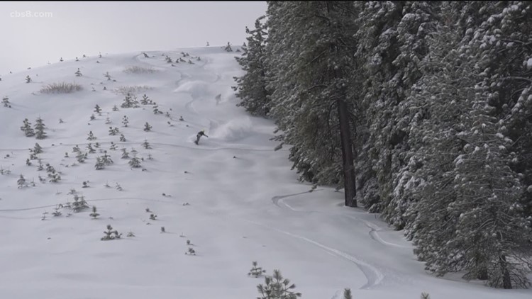
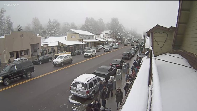
Winter weather advisory
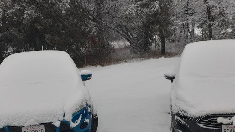
A winter weather advisory will be in effect from 8 a.m. Thursday through 6 p.m. Friday in mountain communities above 5,000 feet.
San Diego Gas & Electric
If you experience any issues with your SDG&E services, here are some resource links: Power Outage Map | Mobile App | SDG&E News Center
How the City of San Diego prepared for the storm
Work crews have inspected critical drains and conducted clean ups in areas such as Mission Bay where city crews removed vegetation and trash that blocked the channel with sediment that filled up 40 dump trucks with debris.
The City of San Diego also advises residents clear any brush that could wash down the curb and clog up storm drains.
Cal Fire preparation
Cal Fire put down a green Hydro spray to prevent erosion along the steep hillsides and to control falling debris.
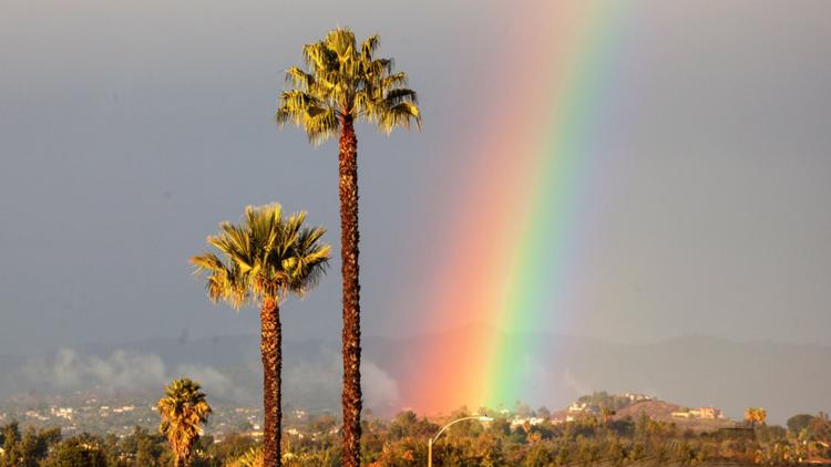
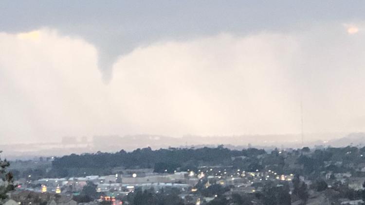
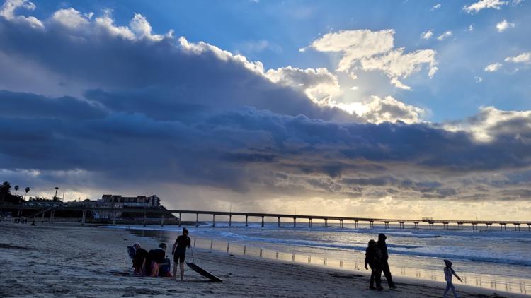
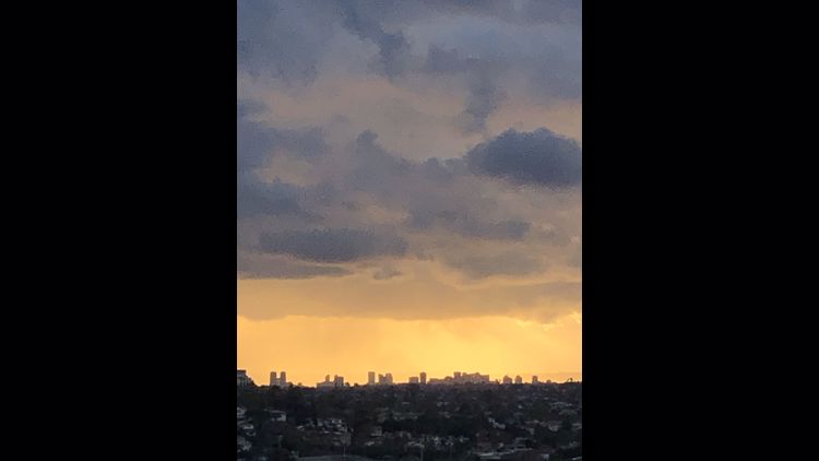
Storm photos
Share with us your storm photos through the News 8 app. Download the app here.
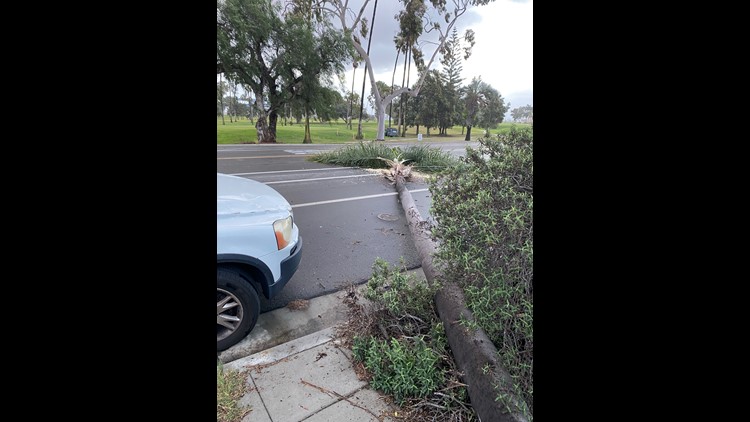
Here's a look at the storm that hit San Diego Monday, January 25: