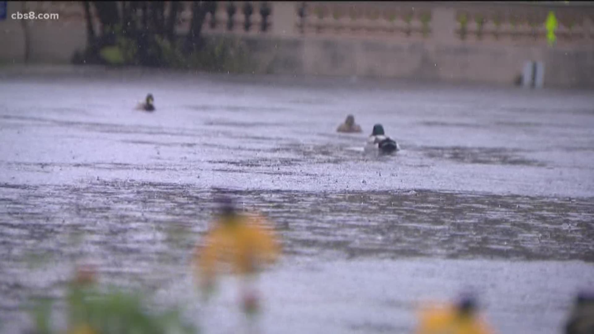
SAN DIEGO — Another autumn storm doused the San Diego area with more widespread rainfall Wednesday, dropping well over an inch of moisture in some areas and causing scattered flooding across the already soaked region.
The showers, which began in earnest around daybreak, remained heavy through the morning -- though they were a far cry from the intense drenching the region underwent days ago during this year's tempestuous Thanksgiving weekend.
As of 4 p.m., according to the National Weather Service, the wet clouds had dropped 1.98 inches of precipitation at Lake Cuyamaca; 1.96 in Campo; 1.91 at Mount Laguna; 1.82 in Julian; 1.58 in Rancho San Diego; 1.53 in Alpine; 1.46 in El Cajon; 1.37 in Lemon Grove; 1.31 in Fallbrook and La Mesa; 1.29 at Brown Field airport; 1.18 at Lindbergh Field and in Vista; 1.17 at Ramona Airport; 1.15 in San Pasqual Valley; 1.14 at Oceanside Harbor; 1.05 in Rancho Bernardo; and an even 1 inch in both Escondido and San Marcos.
Other late-afternoon totals included 0.97 of an inch at Carlsbad Airport; 0.87 in Encinitas; 0.8 in Miramar; 0.74 in Chula Vista; 0.72 in Serra Mesa; 0.62 in Del Mar; 0.52 in Borrego Springs; and 0.44 in Ocotillo Wells.
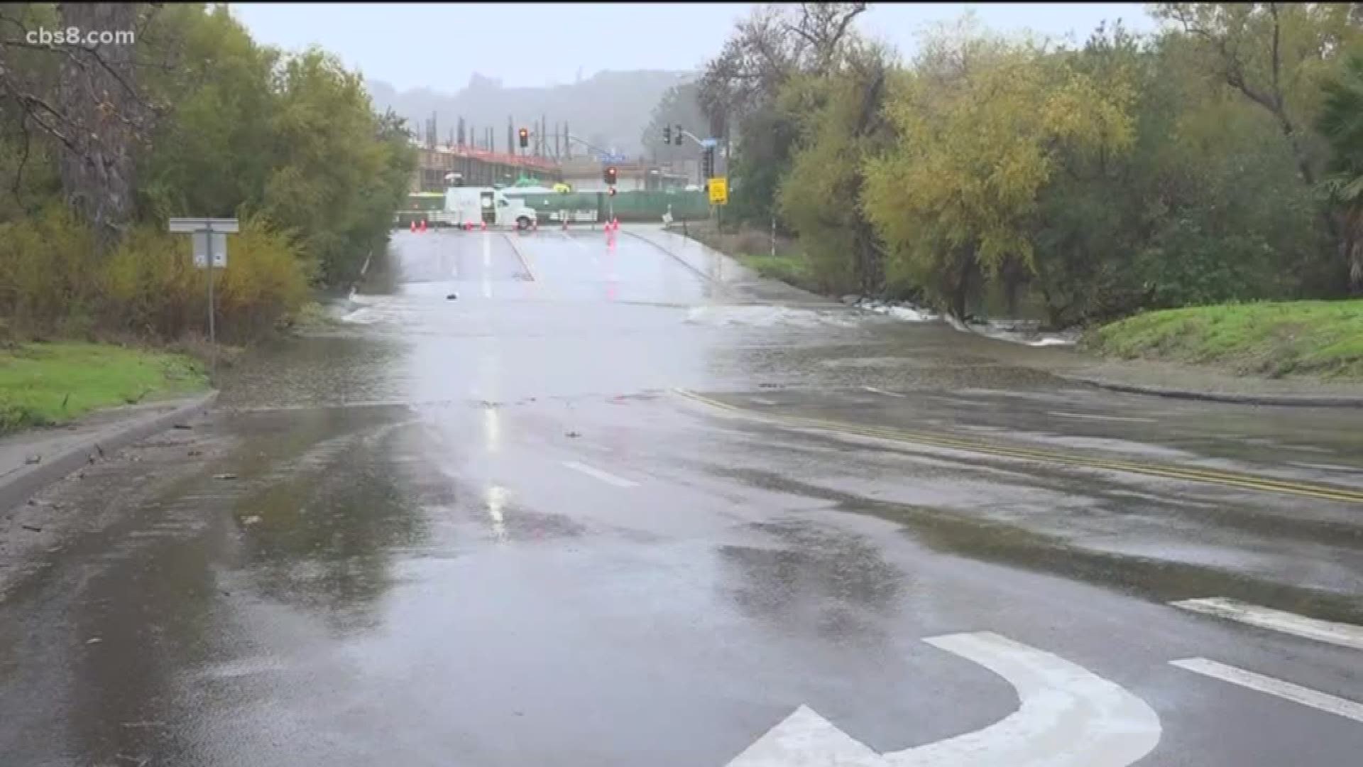
Authorities reported flooding along sections of various roadways, including Bent Avenue in San Marcos; Country Club Drive at Harmony Grove Road in Escondido; Fashion Valley Road in Mission Valley; Hollister Street at Monument Road in the Tijuana River Valley; Huffstatler Street in Rainbow; Quarry Road between Lakeview Avenue and state Route 125 in Spring Valley; and Ramona Street between H Street and Raymond Avenue in Ramona.
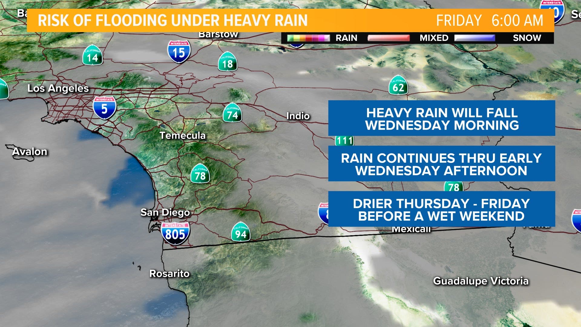
The rains began to break up in the mid-afternoon, and were expected to dwindle significantly overnight before petering out entirely early Thursday, according to meteorologists.
The county will enjoy dry and somewhat warmer conditions through the end of the week, after which another low-pressure system forming off the West Coast could bring occasional periods of local light showers over the weekend, the weather service advised.


