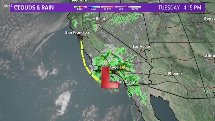
SAN DIEGO — A cool spring storm that has lingered over the San Diego area since Sunday delivered more on-again, off-again showers today across the county.
The spate of wet and winter-like conditions is expected to last through Friday and include some mountain snow, the National Weather Service reported.
As of 4 this afternoon, local three-day rainfall totals ranged from around three-quarters of an inch to nearly two inches of moisture along the coast, as much as 2.8 inches in the inland valleys, upwards of four inches in the mountains and from a few hundredths to one-fifth of an inch in the deserts.
An NWS flash-flood watch is scheduled to remain in effect throughout the county until Wednesday evening.
By midweek, the snow level is expected to drop to around 5,000 feet, bringing layers of frozen white flakes to the East County highlands, possibly as deep as six inches on some of the highest peaks, including Mount Laguna and Palomar Mountain.
Following the departure of the slow-moving storm, local temperatures will warm up amid dry conditions from Saturday through Monday, according to forecasters.